← All Services
Printed Charts & Publications
Official nautical charts, sailing directions, ITU publications and Witherby's products.
Printed Charts and Nautical Publications
Safe navigation requires up‑to‑date and accurate charts and publications. As an authorised distributor, Sierra Marine supplies all printed materials your vessel needs. We also offer Notice to Mariners correction services.
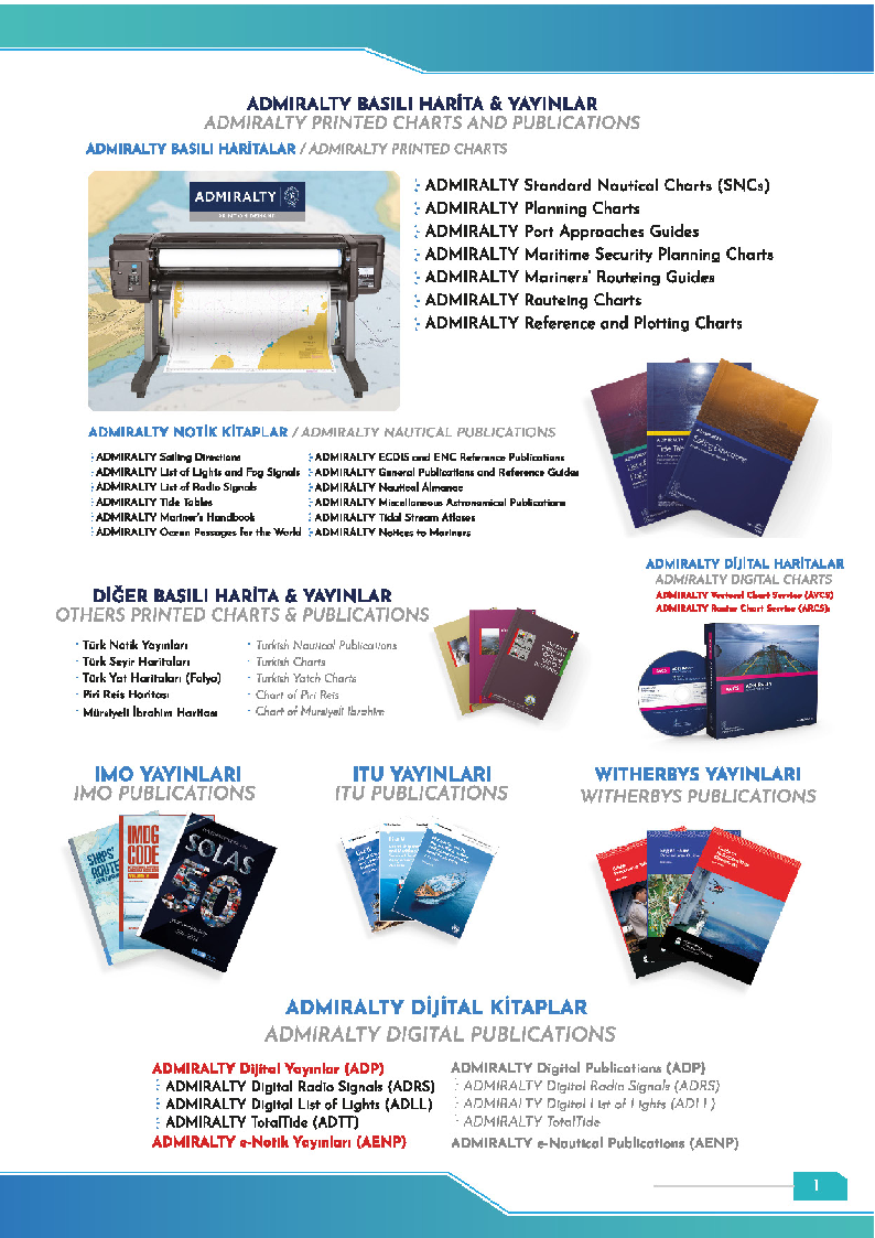
Admiralty Printed Products
- Standard Nautical Charts (SNC): Official charts covering the world's oceans and seas. Over 3500 different charts.
- Planning Charts: Small‑scale charts for route planning (1:3,500,000 and above).
- Port Approach Guides: Detailed information for entering specific ports, depths, marks.
- Admiralty Sailing Directions (Pilot Books): Navigation instructions, port descriptions, currents and tides for various regions. More than 70 volumes.
- List of Lights and Fog Signals: Lighthouses, buoys, fog signals and other aids to navigation (10 volumes).
- List of Radio Signals: Radio stations, DSC, NAVTEX, GMDSS information (6 volumes).
- Tide Tables: Tidal heights and currents for primary and secondary ports (4 volumes).
- Nautical Almanac: Celestial navigation data, star charts.
Other Publications
- Turkish charts and nautical publications: Official charts and guides for Turkish waters.
- IMO publications: Current texts of SOLAS, MARPOL, STCW, COLREG, ISPS Code, FSS Code, IBC Code, etc.
- ITU publications: Radio regulations, maritime vocabulary, international telecommunications rules.
- Witherby's publications: Maritime training materials, handbooks, cargo handling guides, LNG/LPG manuals.
Ship Library Setup
We identify the complete list of mandatory publications for your vessel and create a comprehensive ship library. Regular Notice to Mariners tracking keeps your publications always current. We can also provide software support for digital library management.